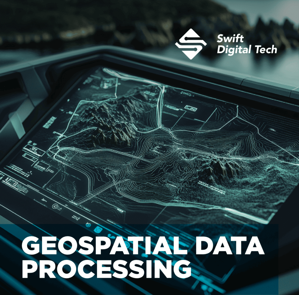
Effective planning depends on the ability to interpret spatial information, but geospatial data is often fragmented and inconsistent across systems. This limits the detection of patterns, monitoring of change, and anticipation of future developments. The Geospatial Data Processing framework addresses these issues by unifying diverse datasets, tracking historical trends, and revealing spatial and relational connections—turning raw data into actionable insight.
Consolidates multiple datasets into a unified framework, ensuring consistency and accessibility for analysis. This integration reduces duplication, eliminates data silos, and creates a single source of truth for decision-making.
Enables the systematic tracking of changes over time, providing valuable insight into patterns, progress, and potential future outcomes. By visualizing past developments, it strengthens forecasting and supports evidence-based strategies.
Highlights spatial and relational interconnections, offering a foundation for more efficient planning and resource allocation. Understanding these linkages helps identify critical nodes, dependencies, and opportunities for optimization.

Please contact our support team to renew your Download Link.
Contact Support